
Nautical charts are specialized maps depicting coastal waters, ocean depths, and navigational hazards essential for maritime travel. These precision instruments evolved from early portolan charts created in the Mediterranean during the 13th century to modern electronic versions used globally today.
Historical Development
The oldest known portolan chart, the Carta Pisana, originated in Pisa, Italy around 1290. Portuguese cartographer Pedro Nunes (1502-1578) revolutionized chart design by introducing the loxodromic curve, improving navigation accuracy across the Atlantic Ocean. Dutch cartographer Willem Janszoon published comprehensive nautical charts of Asian waters between 1595-1620, establishing Amsterdam as Europe's premier mapmaking center.
Key Components and Standards
- Depth soundings measured in fathoms or meters
- Magnetic variation indicators for compass navigation
- Coastal landmarks and lighthouse positions
- Hazardous reefs, shoals, and underwater obstructions
- Tidal current patterns and shipping lanes
The International Hydrographic Organization, established in 1921 in Monaco, standardized chart symbols and specifications worldwide. Modern charts contain depth measurements averaging 10,000+ data points per square nautical mile. Electronic Chart Display and Information Systems (ECDIS) received International Maritime Organization approval in 1995, transforming bridge navigation through real-time positioning data integrated with traditional chart information.
Reference:
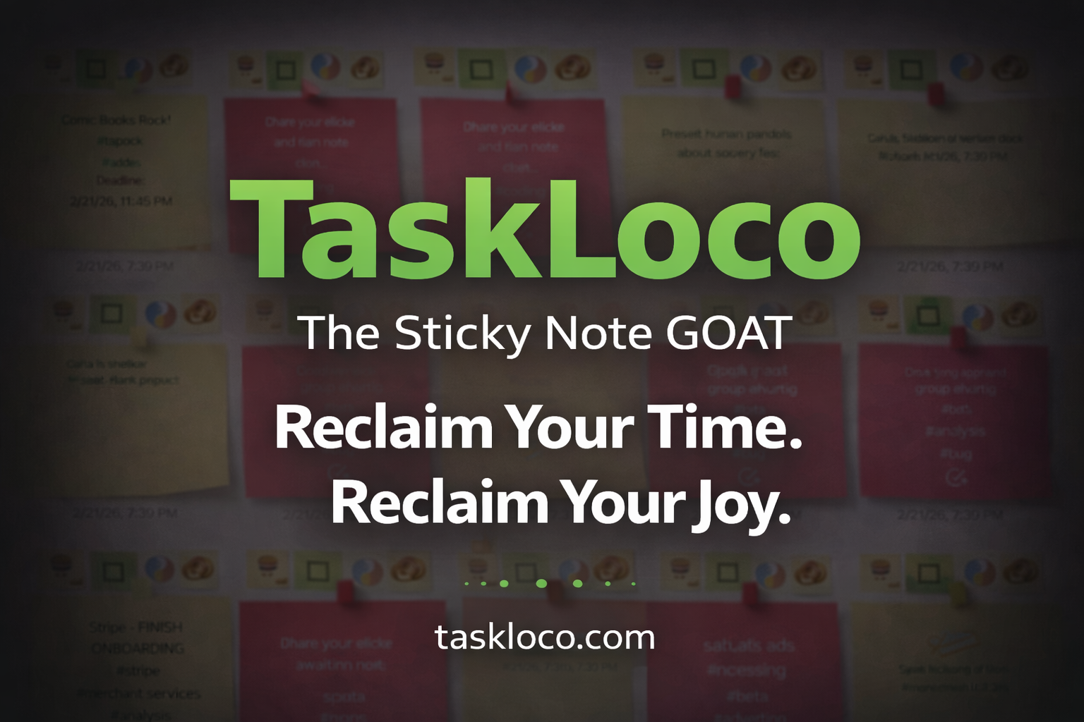
Make Work Feel Like Play
TaskLoco™ takes the simple joy of a sticky note and transforms it into a powerful, intuitive system that helps you organize your entire world—without the stress.
Ideas, tasks, files, links, reminders—everything snaps together like LEGO blocks, instantly and effortlessly.
What used to drain you now feels natural, even fun.
After decades of overcomplicated “productivity” tools, this is the first one that finally works with your mind instead of against it.
Join the TaskLoco™ Community
Follow us for tips, updates & sticky note inspiration
© TaskLoco University — Powered by TaskLoco™
TaskLoco App • About • Terms • Privacy
“Bring genius to the world free.”