
Digital Mapping
Digital mapping refers to the creation and analysis of geographical data using computer technology. This field emerged from advances in satellite imagery, GPS systems, and computational methods beginning in the 1960s and 1970s. Digital mapping transformed navigation from paper charts to interactive, real-time visualizations accessible worldwide.
Key Developments
- NAVSTAR GPS System - fully operational by 1995, providing global positioning accuracy within 5-10 meters for civilian applications
- Google Maps (launched February 2005) - revolutionized public access to digital cartography from Mountain View, California
- GIS Technology (Geographic Information Systems) - developed throughout the 1970s-1980s for analyzing spatial data
- Remote Sensing Satellites - began providing Earth observation data after the 1970s Landsat program
Roger Tomlinson pioneered GIS development in Ottawa, Canada during the 1960s, creating systems to manage geographical information. The International Cartographic Association recognized digital mapping's importance, establishing standards in 1991 for data accuracy and interoperability.
Modern Applications
Digital mapping enables urban planners in cities like Singapore and Copenhagen to analyze infrastructure. Environmental scientists use these tools to track deforestation across the Amazon Basin. Emergency responders in Tokyo and Los Angeles deploy digital maps for disaster response coordination, improving efficiency significantly over traditional paper methods.
Reference:
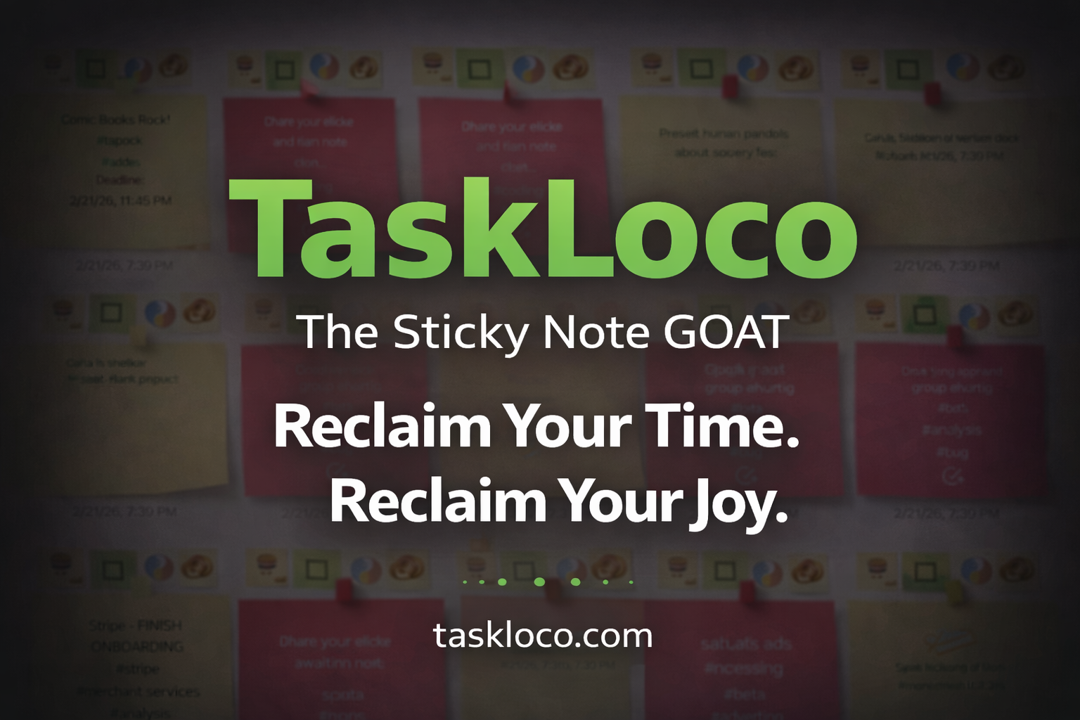
Make Work Feel Like Play
TaskLoco™ takes the simple joy of a sticky note and transforms it into a powerful, intuitive system that helps you organize your entire world—without the stress.
Ideas, tasks, files, links, reminders—everything snaps together like LEGO blocks, instantly and effortlessly.
What used to drain you now feels natural, even fun.
After decades of overcomplicated “productivity” tools, this is the first one that finally works with your mind instead of against it.
Join the TaskLoco™ Community
Follow us for tips, updates & sticky note inspiration
© TaskLoco University — Powered by TaskLoco™
TaskLoco App • About • Terms • Privacy
“Bring genius to the world free.”