
Satellite Mapping in Cartography
Satellite mapping revolutionized cartography by enabling mapmakers to capture Earth's surface from space with unprecedented precision. The technology emerged during the Cold War space race, with the first reconnaissance satellite, Corona, launched by the United States on August 18, 1960, from Vandenberg Air Force Base in California.
Early Development and Milestones
- Landsat 1 (launched July 23, 1972) - the first civilian Earth observation satellite, orbiting from an altitude of 920 kilometers
- SPOT (launched January 22, 1986) - a French satellite system providing 10-meter resolution imagery
- Ikonos (launched September 24, 1999) - achieved 1-meter resolution, marking a watershed moment in commercial satellite cartography
Modern Applications
Contemporary satellite mapping enables cartographers to create detailed maps of remote regions, monitor environmental changes, and track urban development. Google Maps, launched in 2005, introduced satellite imagery to mainstream users worldwide, utilizing data from multiple satellite sources including DigitalGlobe and Copernicus.
Modern satellites capture imagery at resolutions finer than 30 centimeters, allowing mapmakers to identify individual buildings and infrastructure. The Copernicus Programme, established by the European Union in 1998, provides free satellite data to researchers and governments across Europe and beyond, democratizing access to geospatial information for cartographic studies.
Reference:
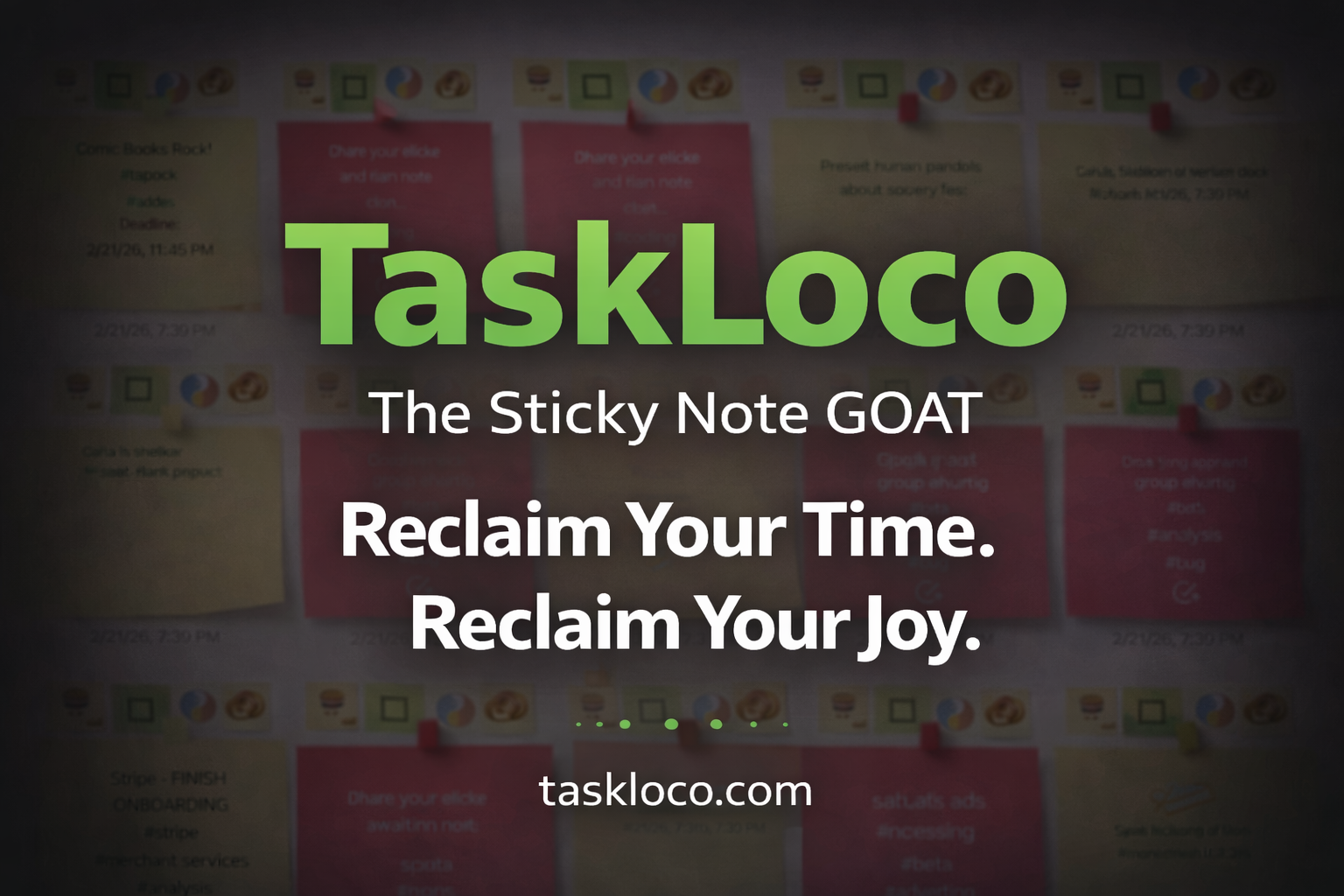
Make Work Feel Like Play
TaskLoco™ takes the simple joy of a sticky note and transforms it into a powerful, intuitive system that helps you organize your entire world—without the stress.
Ideas, tasks, files, links, reminders—everything snaps together like LEGO blocks, instantly and effortlessly.
What used to drain you now feels natural, even fun.
After decades of overcomplicated “productivity” tools, this is the first one that finally works with your mind instead of against it.
Join the TaskLoco™ Community
Follow us for tips, updates & sticky note inspiration
© TaskLoco University — Powered by TaskLoco™
TaskLoco App • About • Terms • Privacy
“Bring genius to the world free.”