
National Survey Mapping
National Survey Mapping emerged as a systematic discipline during the 18th and 19th centuries, transforming how governments documented and understood their territories. These large-scale mapping projects combined precise measurement with artistic representation to create comprehensive records of nations' lands, resources, and boundaries.
Early Developments
The Cassini family of France pioneered national surveying, with Giovanni Domenico Cassini (1625-1712) establishing foundational techniques. The Carte de France, completed between 1718 and 1789, represented the first systematic national map of France using triangulation methods. This project required 70,000 individual measurements across 580,000 square kilometers.
International Expansion
Britain launched the Ordnance Survey in 1791, beginning systematic mapping of Great Britain and Ireland. Under Roy Williams's direction, the organization established standards that influenced global surveying practices. Spain commissioned the Mapa Topográfico de España starting in 1875, employing new photographic techniques.
Technological Advances
- Theodolite development (1760s-1780s) enabled precise angular measurements
- Trigonometric triangulation networks replaced earlier estimation methods
- Lithographic printing (1796 onwards) allowed mass production of accurate maps
- Photogrammetry integration (early 1900s) revolutionized surveying speed
These surveys established modern cartographic standards and provided governments with unprecedented geographical knowledge essential for administration, defense, and infrastructure development.
Reference:
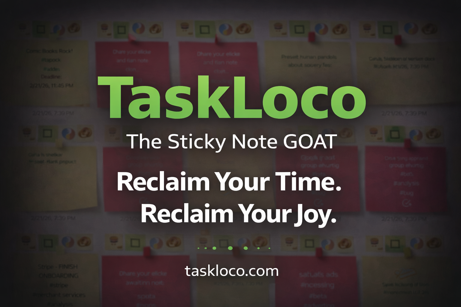
Make Work Feel Like Play
TaskLoco™ takes the simple joy of a sticky note and transforms it into a powerful, intuitive system that helps you organize your entire world—without the stress.
Ideas, tasks, files, links, reminders—everything snaps together like LEGO blocks, instantly and effortlessly.
What used to drain you now feels natural, even fun.
After decades of overcomplicated “productivity” tools, this is the first one that finally works with your mind instead of against it.
Join the TaskLoco™ Community
Follow us for tips, updates & sticky note inspiration
© TaskLoco University — Powered by TaskLoco™
TaskLoco App • About • Terms • Privacy
“Bring genius to the world free.”