
Interactive Online Maps in Modern Cartography
Interactive online maps represent a revolutionary shift in cartographic technology since their emergence in the early 2000s. Unlike traditional static maps, these digital tools allow users to zoom, pan, and layer information in real-time, fundamentally transforming how people navigate and understand geography.
Key Developments and Platforms
- Google Maps (2005) - launched in February 2005 from Google's headquarters in Mountain View, California, introducing satellite imagery and street-level views to millions
- OpenStreetMap (2004) - founded in the United Kingdom as a collaborative, open-source mapping project
- Mapbox (2010) - established in Washington, D.C., specializing in custom map design and real-time data integration
Impact and Statistics
By 2023, Google Maps had accumulated over 250 million daily active users globally. These platforms transformed cartography by enabling crowdsourced updates and real-time data visualization across cities like Tokyo, London, and São Paulo.
The Esri GIS Award for Technology Innovation (established 1999) recognized interactive mapping's advancement of geographic information systems. Interactive maps now incorporate multiple data layers—traffic patterns, weather conditions, and demographic information—simultaneously displaying information that would require dozens of traditional paper maps.
This convergence of cartography and technology continues reshaping urban planning, emergency response, and geographic education worldwide.
Reference:
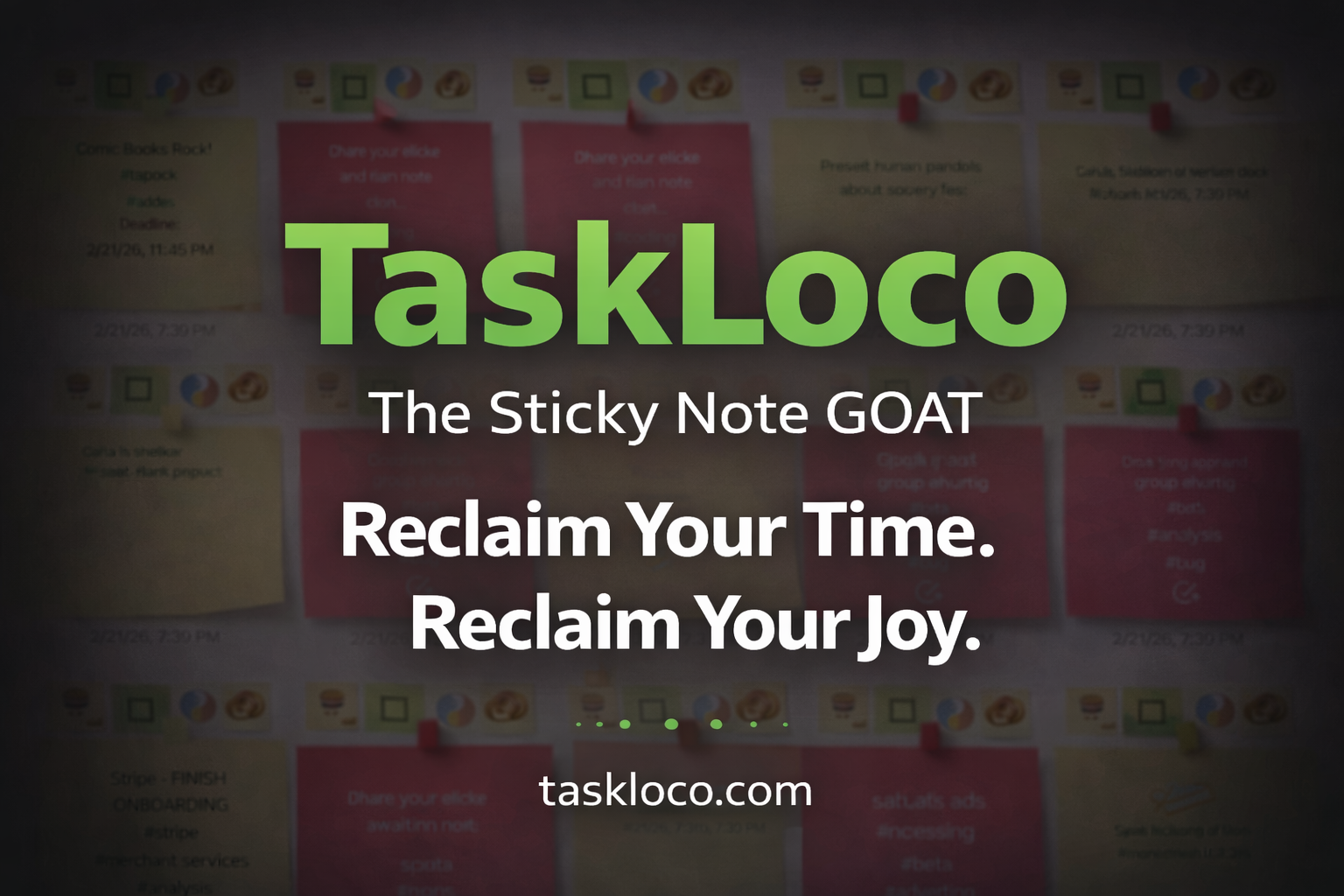
Make Work Feel Like Play
TaskLoco™ takes the simple joy of a sticky note and transforms it into a powerful, intuitive system that helps you organize your entire world—without the stress.
Ideas, tasks, files, links, reminders—everything snaps together like LEGO blocks, instantly and effortlessly.
What used to drain you now feels natural, even fun.
After decades of overcomplicated “productivity” tools, this is the first one that finally works with your mind instead of against it.
Join the TaskLoco™ Community
Follow us for tips, updates & sticky note inspiration
© TaskLoco University — Powered by TaskLoco™
TaskLoco App • About • Terms • Privacy
“Bring genius to the world free.”