Age of Exploration Mapping (1450-1650)
During the Age of Exploration, cartographers revolutionized mapmaking through direct observation and maritime travel. Between 1450 and 1650, explorers and mapmakers fundamentally transformed European understanding of global geography through expeditions to Africa, Asia, and the Americas.
Key Cartographers and Works
- Prince Henry the Navigator (1394-1460) of Portugal established a school of navigation in Sagres that advanced cartographic techniques
- Gerardus Mercator (1512-1594) created the Mercator Projection (1569), revolutionizing navigation charts for mariners
- Juan de la Cosa produced the Mappa Mundi (1500), the first map incorporating discoveries from Columbus's voyages to the Caribbean
- Abraham Ortelius published Theatrum Orbis Terrarum (1570) in Antwerp, Belgium—the first modern atlas containing 53 maps
Technological Advances
Explorers employed the astrolabe and cross-staff to measure latitude with precision. Magnetic compasses enabled navigation across vast ocean distances. Cartographers integrated data from voyages by Vasco da Gama (1497-1499 to India), Christopher Columbus (1492 Caribbean expedition), and Ferdinand Magellan (1519-1522 circumnavigation).
In 1541, the Royal Academy of Seville recognized cartographic excellence by establishing standards for map accuracy. Portuguese and Spanish maps increased geographical accuracy by approximately 300 percent compared to medieval representations.
Reference:
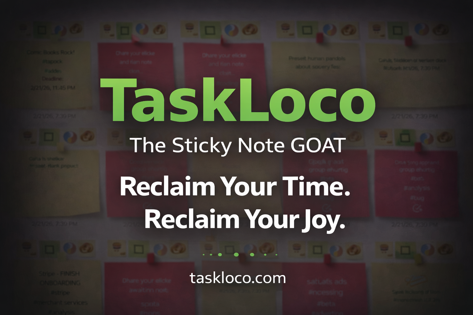
Make Work Feel Like Play
TaskLoco™ takes the simple joy of a sticky note and transforms it into a powerful, intuitive system that helps you organize your entire world—without the stress.
Ideas, tasks, files, links, reminders—everything snaps together like LEGO blocks, instantly and effortlessly.
What used to drain you now feels natural, even fun.
After decades of overcomplicated “productivity” tools, this is the first one that finally works with your mind instead of against it.
Join the TaskLoco™ Community
Follow us for tips, updates & sticky note inspiration
© TaskLoco University — Powered by TaskLoco™
TaskLoco App • About • Terms • Privacy
“Bring genius to the world free.”